Project Overview
Title: Terrestrial Arthropod Monitoring Program – Mixedwood Plains 2018
CBG Units: Collections, Genomics, Informatics
Scope: Examine the diversity of arthropod species in the Mixedwood Plains ecoregion of Canada by analyzing Malaise trap samples in bulk using standard metabarcoding protocols
Sampling Duration: 2018
Sequencing Analysis: 2019-2020
Stage: Complete
Reach: 55 sampling sites in protected areas located in Southern Ontario and Quebec (including provincial parks, nature reserves, conservation areas, and national parks)
Sequences: 23K+ BINs
Project Details
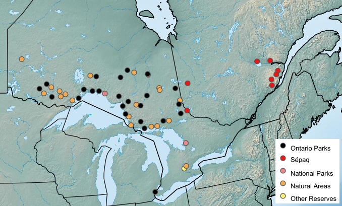
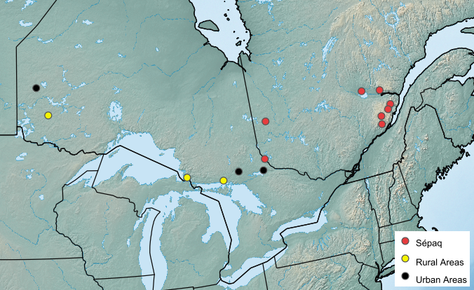
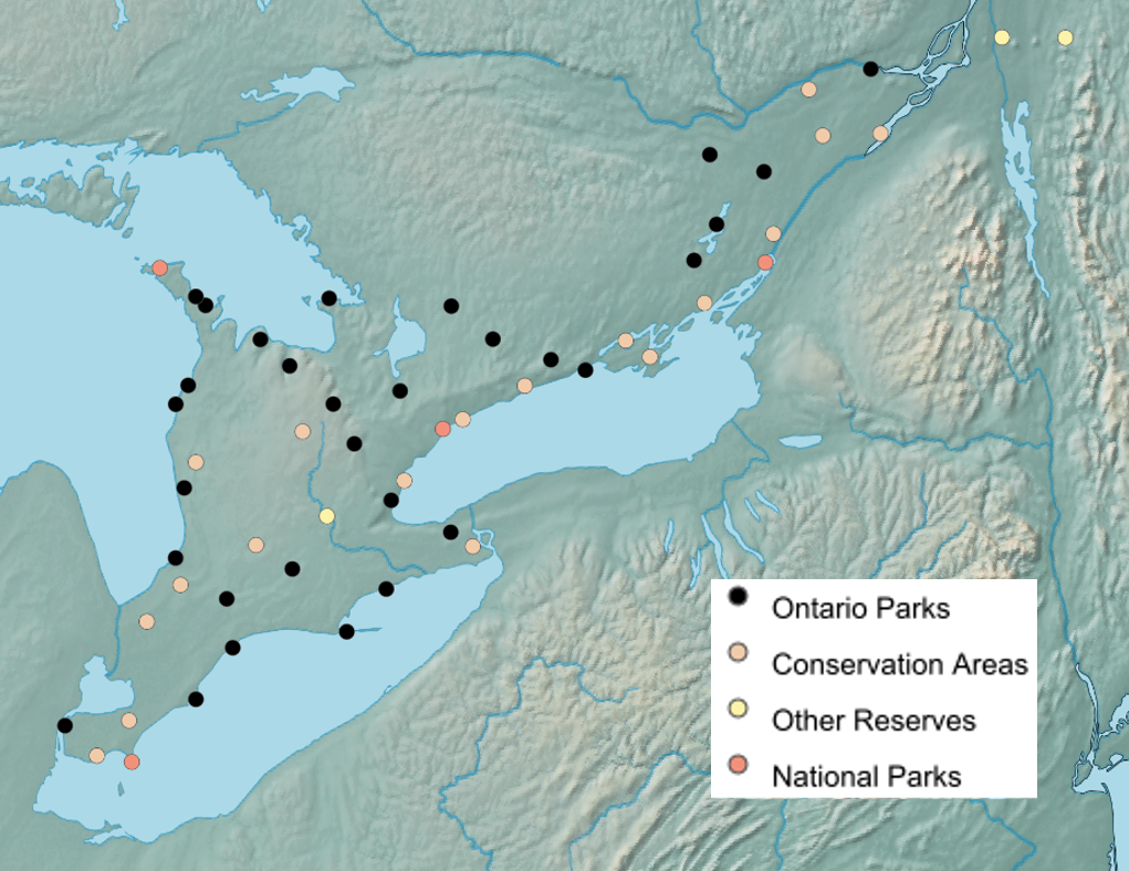
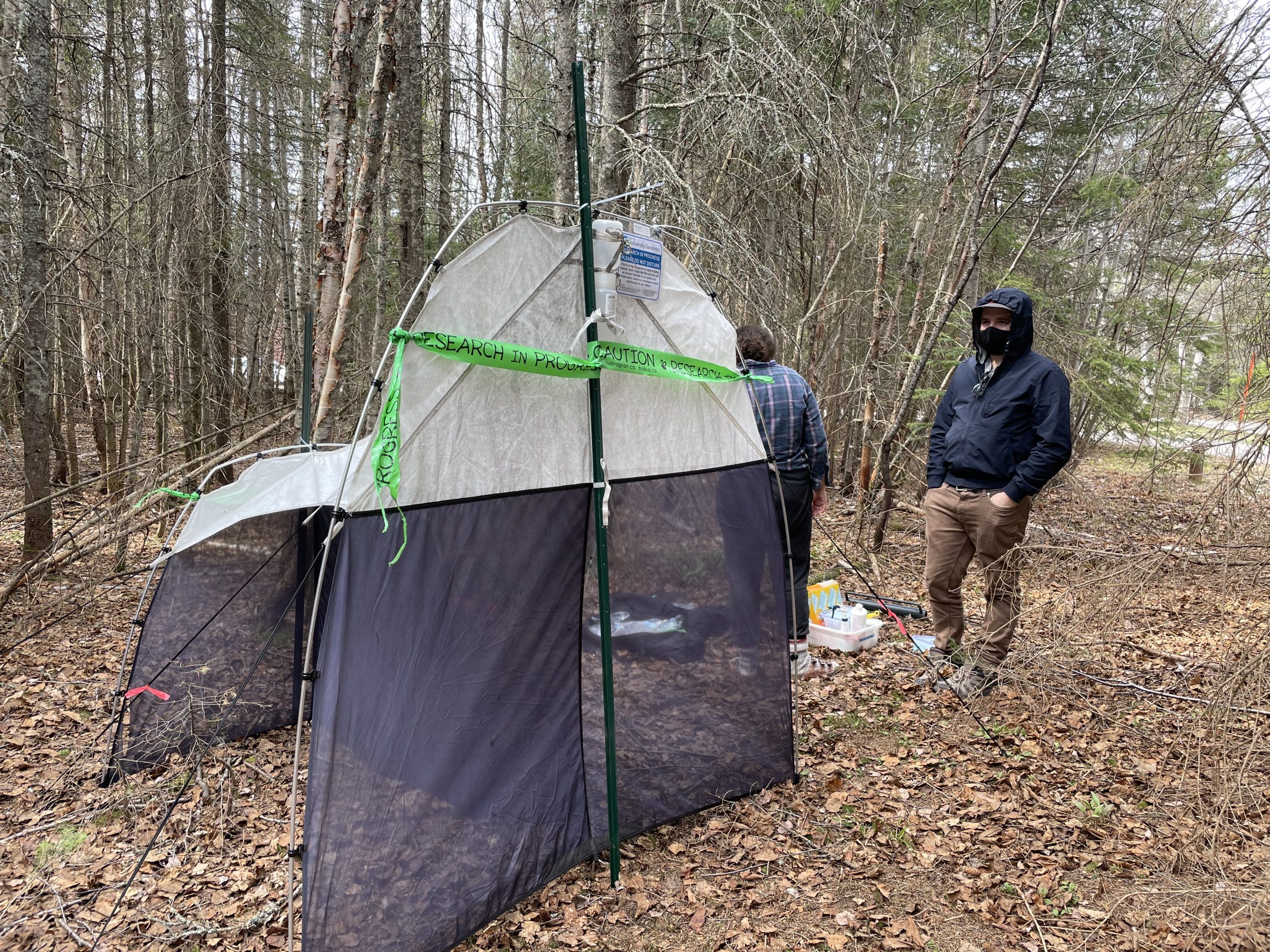
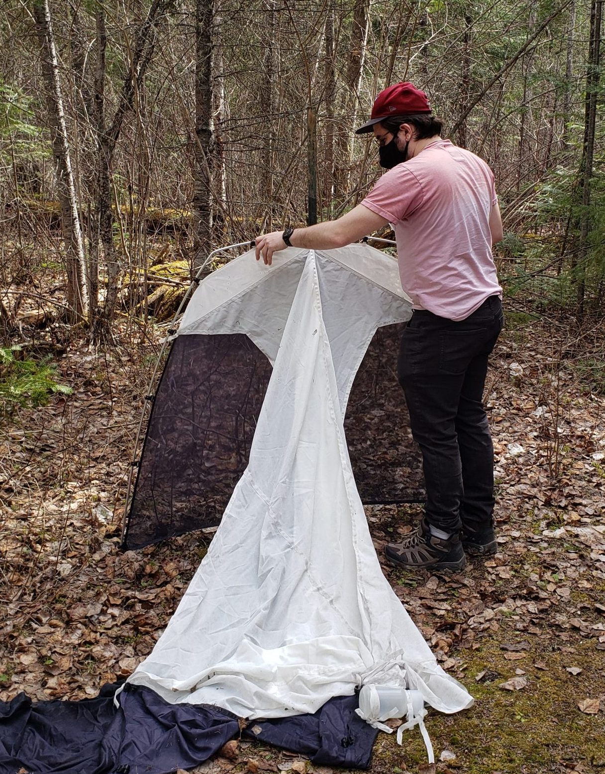
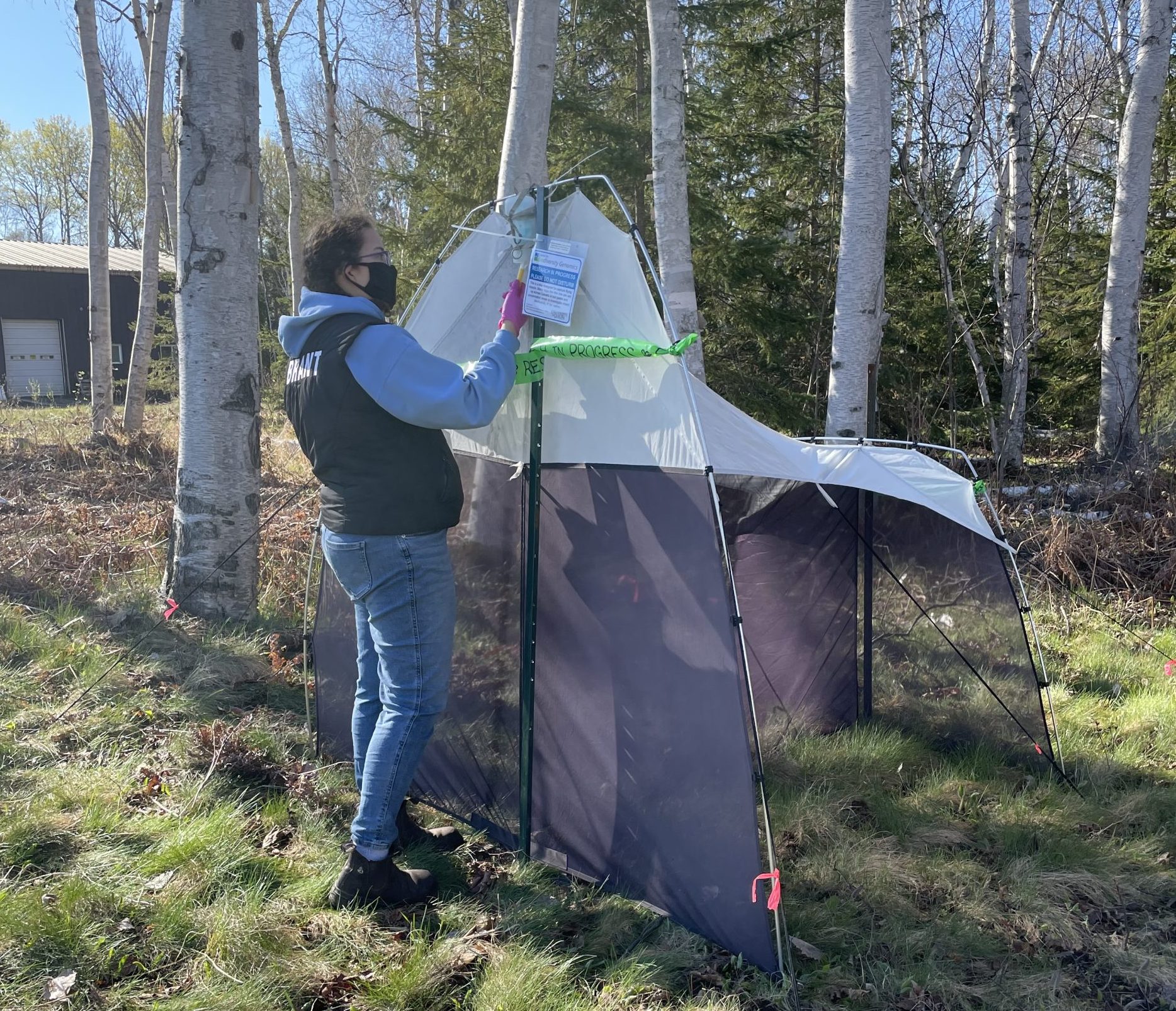
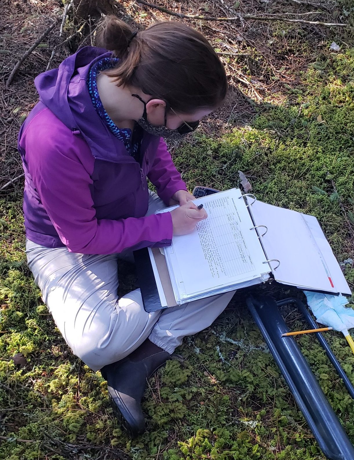
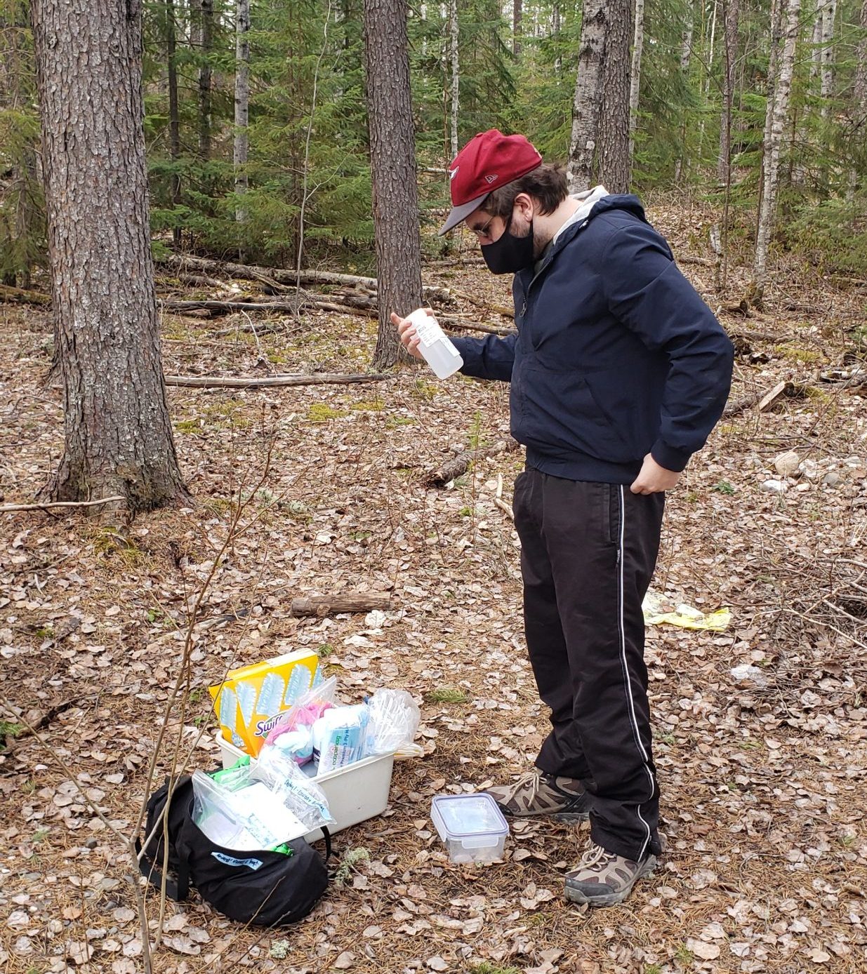
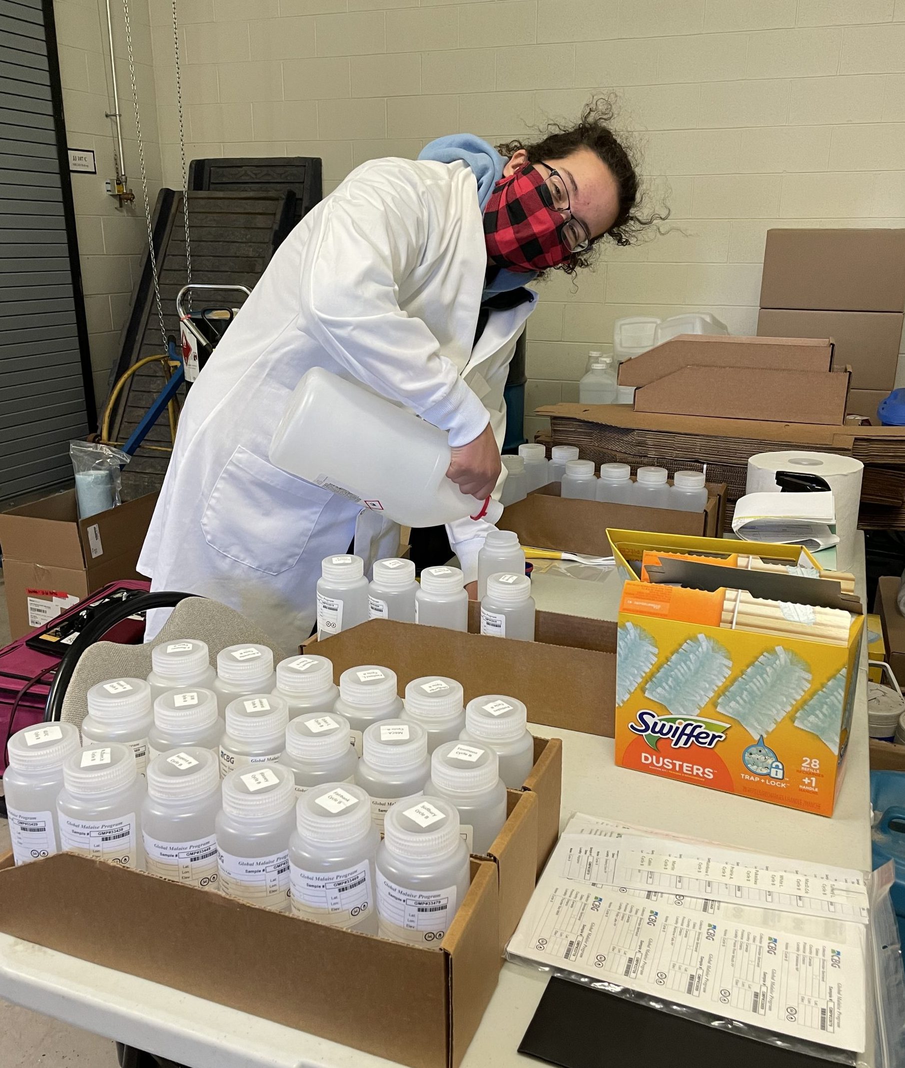
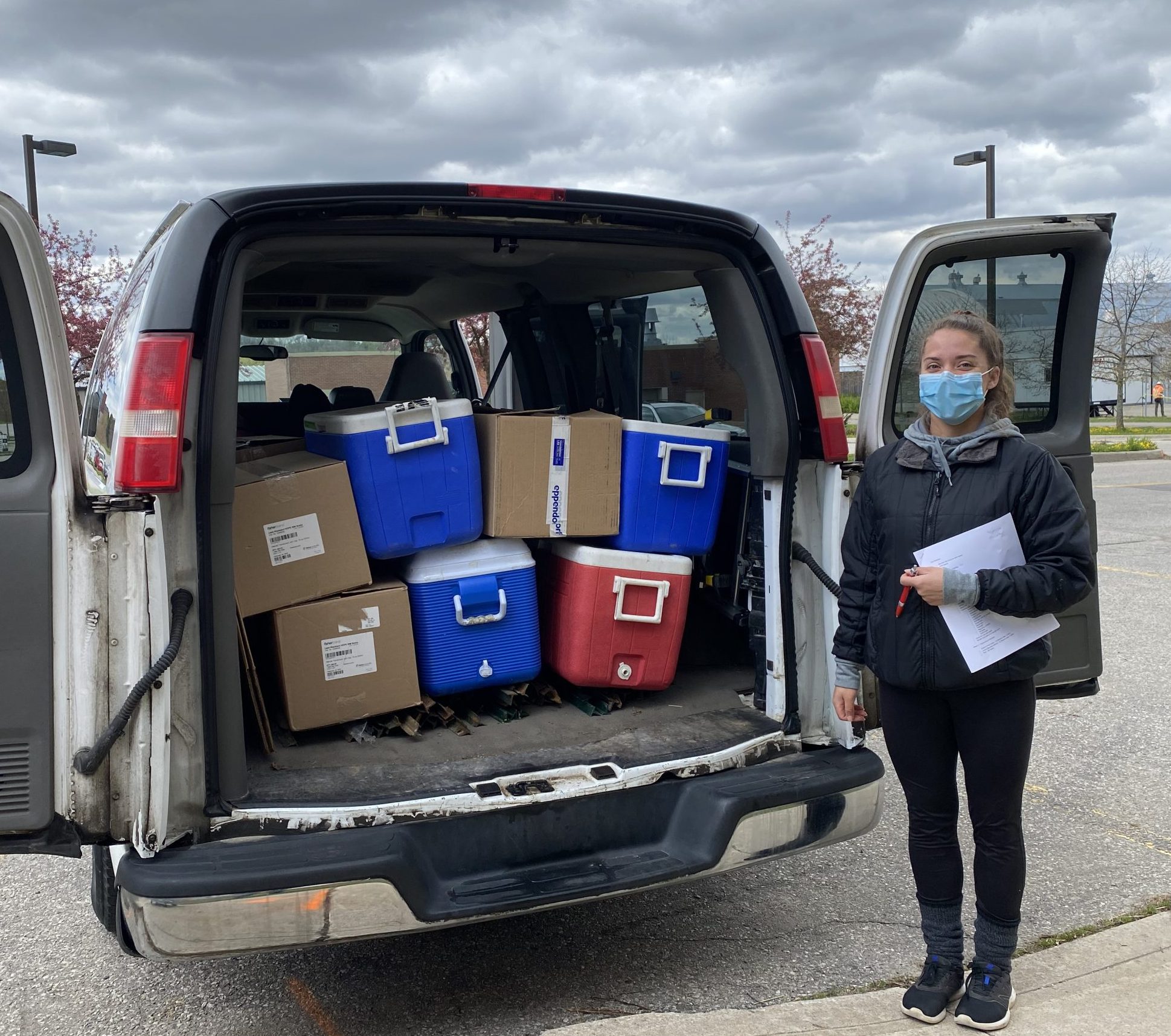
This project is aimed at examining long-term trends in arthropod communities by gathering data at sites that are likely to persist, such as national and provincial protected areas. To collect data from a broad geographic range across the Mixedwood Plains ecoregion, this survey included 30 Ontario provincial protected areas (25 re-sampled from a 2014 study conducted by CBG), four national parks, 18 conservation areas, and one research reserve in Ontario, as well as one research reserve and one provincial park in Quebec for a grand total of 55 sampling sites.
Project Outcomes – Ontario Parks Results ONLY
Overall Report – Analysis of 30 Ontario Parks December 2020
Appendix 1 – Neighbour-joining tree of representative specimens from each BIN available on BOLD collected by Malaise traps in Ontario Parks in 2018 (colourized based on taxonomic order).
Appendix 2 – Image library of 17,607 BIN representatives collected in Ontario Parks 2018 (in alignment with Appendix 1).
Part 1 (219 MB) Part 2 (242 MB) Part 3 (235 MB) Part 4 (135 MB)
Appendix 3 – Complete list of taxonomy and BINs collected in the Ontario Provincial Parks Malaise Program (in alignment with Appendix 1).
Appendix 4 – List of individual reports for each Provincial Park involved, including names of their main contacts, in the Ontario Provincial Parks Malaise Program.
-
-
- AWEN – Awenda Provincial Park | Report
- BALS – Balsam Lake Provincial Park | Report
- BAYV – Bayview Escarpment Provincial Park | Report
- BOYN – Boyne Valley Provincial Park | Report
- BRON – Bronte Creek Provincial Park | Report
- BURN – Burnt Lands Provincial Nature Reserve | Report
- DUNC – Duncan Escarpment Provincial Park | Report
- EMIL – Emily Provincial Park | Report
- FORC – Forks of the Credit Provincial Park | Report
- FRON – Frontenac Provincial Park | Report
- HOLL – Holland Landing Prairie Provincial Park | Report
- HOPE – Hope Bay Forest Provincial Park | Report
- INVH – Inverhuron Provincial Park | Report
- JOEP – John E. Pearce Provincial Park | Report
- KMKA – Komoka Provincial Park | Report
- LIOH – Lion’s Head Provincial Park | Report
- LONP – Long Point Provincial Park | Report
- MACG – MacGregor Point Provincial Park | Report
- MORT – Morris Tract Provincial Park | Report
- MURP – Murphys Point Provincial Park | Report
- OJIB – Ojibway Prairie Provincial Nature Reserve | Report
- PETW – Peter’s Woods Provincial Park | Report
- PINE – Pinery Provincial Park | Report
- PRES – Presqu’ile Provincial Park | Report
- RIDR – Rideau River Provincial Park | Report
- ROND – Rondeau Provincial Park | Report
- SELK – Selkirk Provincial Park | Report
- SHOH – Short Hills Provincial Park | Report
- TRWD – Trillium Woods Provincial Park | Report
- VOYG – Voyageur Provincial Park | Report
-
Appendix 5 – Individual taxonomy reports (species inventories) for each Ontario Parks site in 2018.
Part 1 Part 2